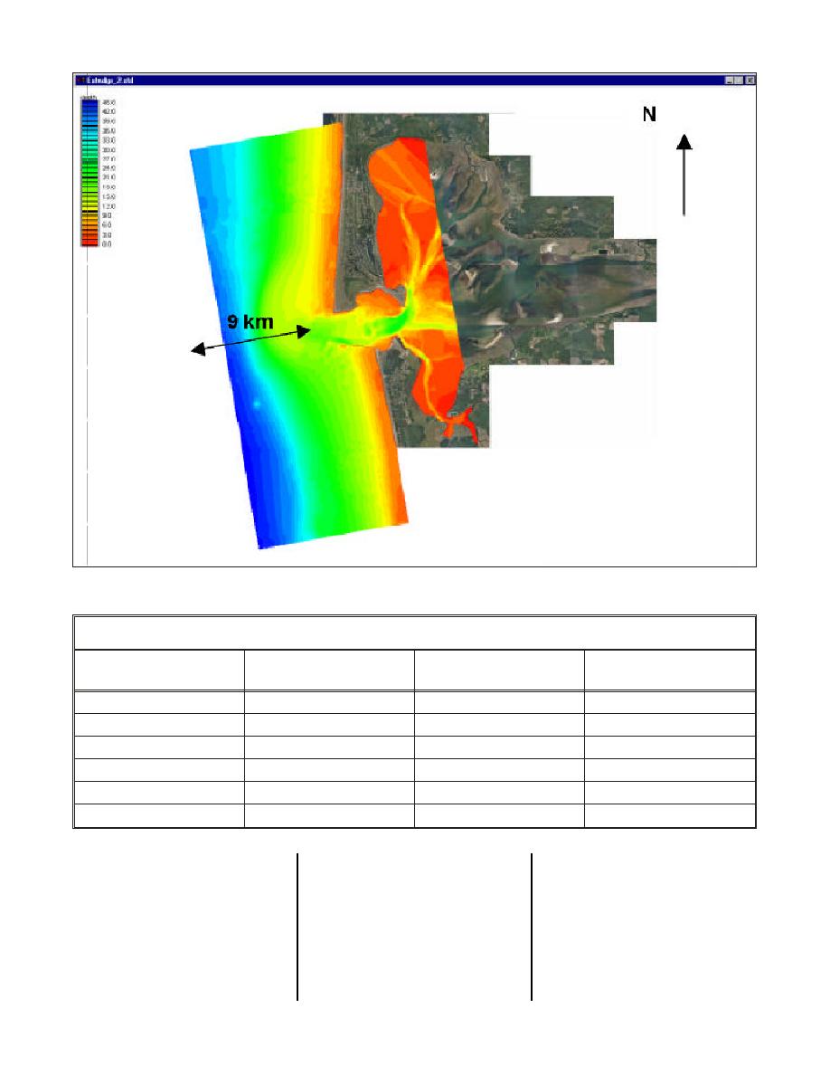
Figure 7. STWAVE model domain used in navigation study
Table 1. Wave Conditions from Grays Harbor Wave Climate (1993-1999)
Significant Wave Height,
Peak Period,
Wave Direction,
m
sec
Deg from North
Compass Direction
0.5
6
202.5
SSW
1.5
8
225.0
SW
2.5
12
247.5
WSW
3.5
16
270.0
W
5.0
20
292.5
WNW
6.5
315.0
NW
occurrence, producing waves of
The climatology simulations were
mean tide level (mtl) with no current.
then made at different tide stages
These base condition results were
0.5-3 m at Grays Harbor entrance.
The largest waves (>6.5 m) have a
and currents. Conditions were
monitored at all inlet data-collection
selected based on analysis of data,
probability of occurrence of less than
locations (Figure 1). The majority
which showed that slack currents in
(45.1 percent) of the waves are in
1 percent, but result in wave heights
the 1-2 m range and result in waves
of 1-8 m in the inlet entrance. Wave
the inlet occur near the time of
at the entrance to Grays Harbor of
heights at tripod station 3 (bayward
mean high water and mean low
approximately 0.5 to 2 m. Wave
side of the inlet entrance) have an
water and maximum currents occur
heights in the 2-3 m range at the
80 percent probability of being less
near the time of mtl. Ebb and flood
CDIP buoy have a 24.7 percent
than 1 m.
currents were obtained from an
33


 Previous Page
