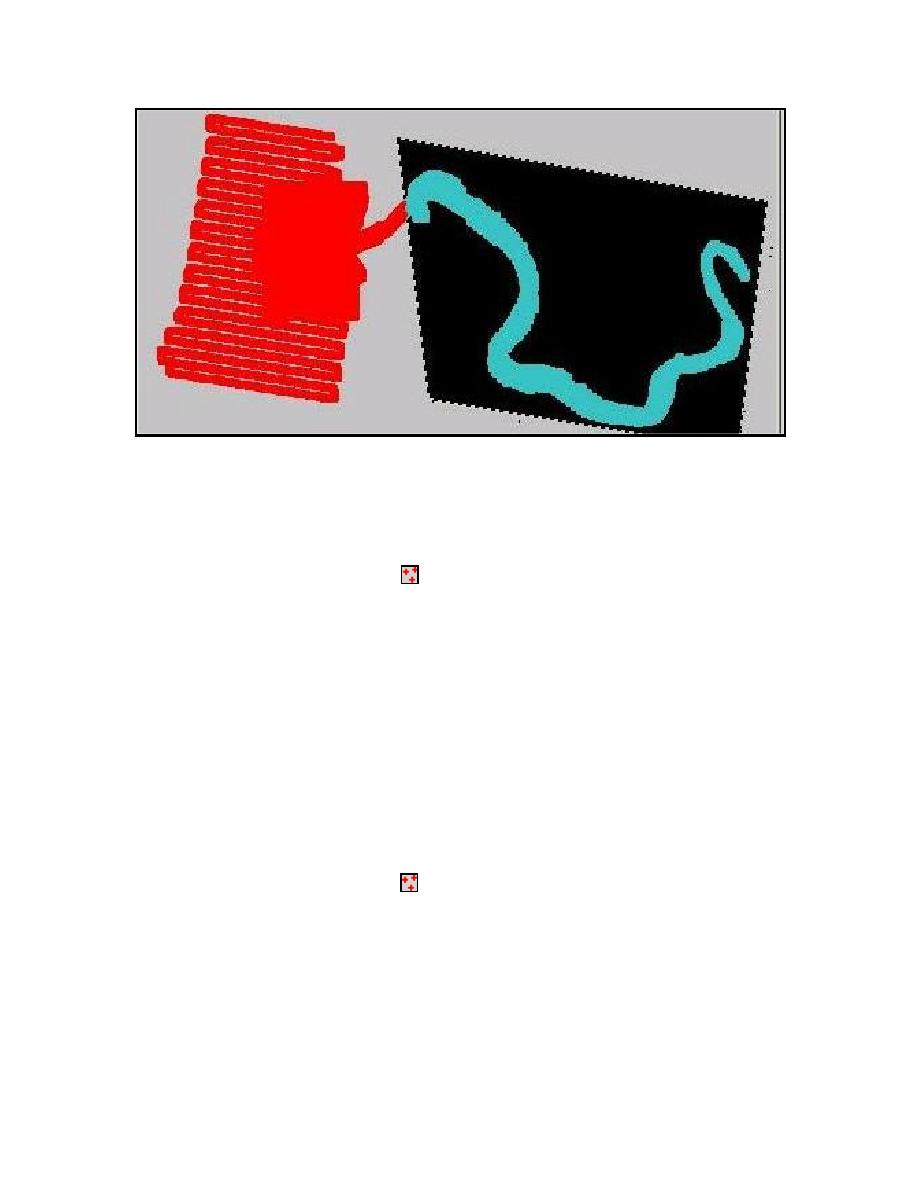
Figure 7. Bathymetry scatter set with excess river points featured in black area
b. Remove excess river points from bathymetry scatter set. River points to
be removed are outlined in black in Figure 7.
1. Scatter Module -
(a) Edit | Select with poly...
(1) Click mouse at points around river section to be removed.
(2) Double-click to close selection area.
(3) Edit | Delete to remove points.
(4) Repeat the previous steps as needed.
c. STWAVE requires positive Z-coordinate values. YAQbath.xyz
bathymetry file has negative Z-coordinates that SMS can convert to
positive Z-coordinates by:
1. Scatter Module -
(a) Data | Transform-
(1) Depth<->Elevations.
d. The land/ocean boundary can be improved for this data set by importing a
scanned image (18581a.tif) of the Yaquina area from NOS chart
27
Chapter 5 SMS User Interface


 Previous Page
