30.0
Seawaall
Se awll
20.0
CCore-lLc Berm
ore o oc Berm
10.0
Existing
0.0
Plan
-10.0
0
20
40
60
80
100
120
140
160
180
Distance from Baseline (ft)
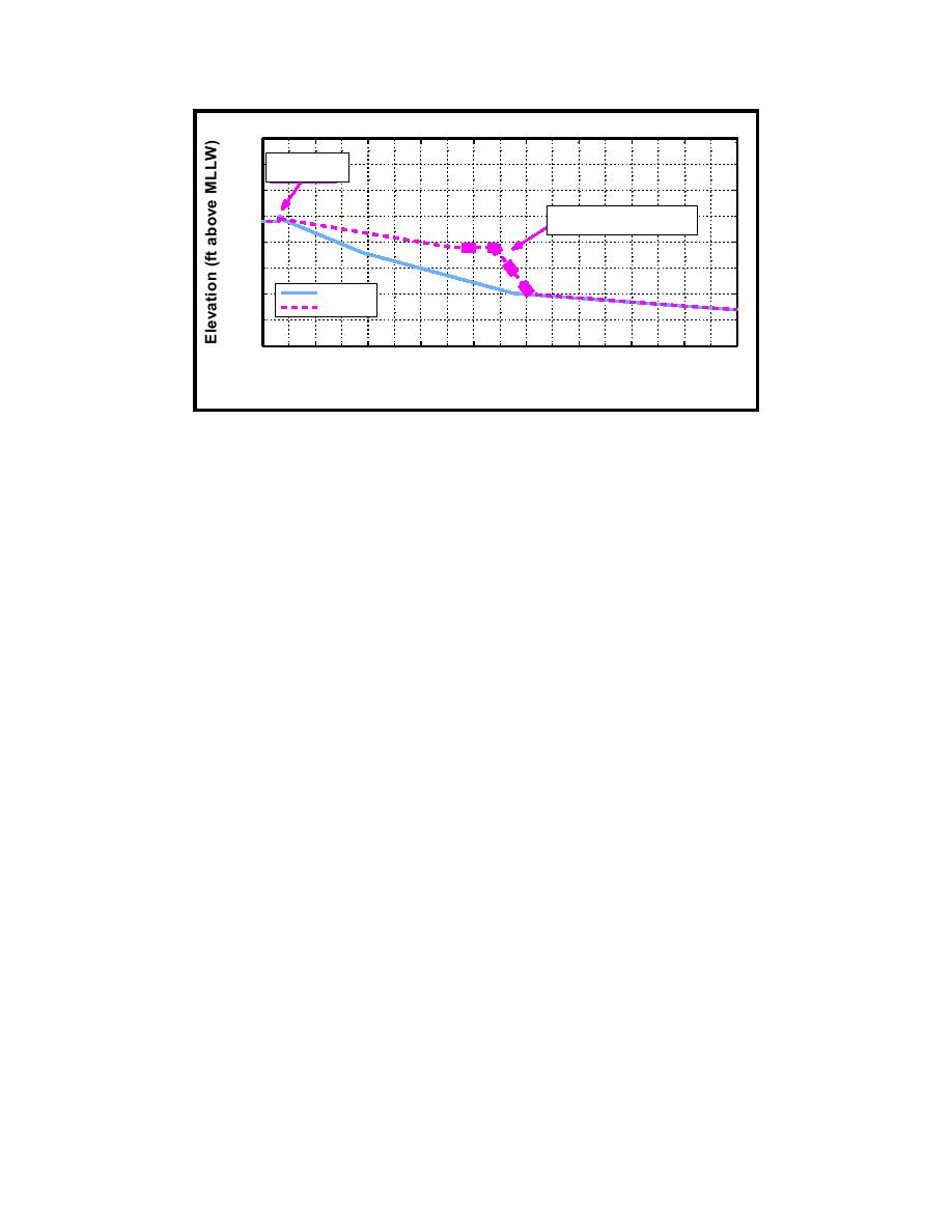
Figure 4.
Example of existing and plan profiles, Sta 16+00 (To convert feet to
meters, multiply by 0.3048)
This report describes the procedures and results of the typhoon stage-
frequency and overtopping analysis for the proposed project area along Cabras
Island, Apra Harbor, Territory of Guam. Many of the techniques employed in
this study have been successfully applied in previous stage-frequency analyses
(Mark 1996; Mark and Scheffner 1997; Militello and Scheffner 1998). The
present study differs from earlier studies in two significant ways: first, the key
study result is overtopping rates rather than water levels; and second, plan
coastal profiles include a proposed berm configuration designed to reduce runup
and overtopping.
The analysis for this study consisted of six tasks. The first task was develop-
ment of a typhoon database for the western Pacific Ocean and analysis of storm
statistics and correlations. Storms impacting the study area were selected from
the database to create a smaller, representative group of storms called the
training set. A planetary boundary layer model was applied to calculate wind and
atmospheric pressure fields for each storm in the training set.
The second task consisted of simulation of storm surge by application of a
long-wave, finite-element hydrodynamic model. For each storm in the training
set, storm surge was calculated at selected sites in the study area. The third task
consisted of wave parameter calculation for each storm by application of a wave
growth/propagation model and a nearshore wave-transformation model. The
fourth task consisted of time-series calculation of ponding level, setup, runup,
and overtopping for each storm. These calculations were performed for profiles
specified by the Honolulu District for both existing and plan conditions.
The fifth task was the development of frequency-of-occurrence relationships
for rates of overtopping along the seawall. These relationships were developed
by application of the Empirical Simulation Technique (EST) to relate typhoon
parameters and the corresponding storm overtopping rates. The EST is a
statistical resampling procedure that applies historical data to develop joint
4
Chapter 1
Introduction


 Previous Page
