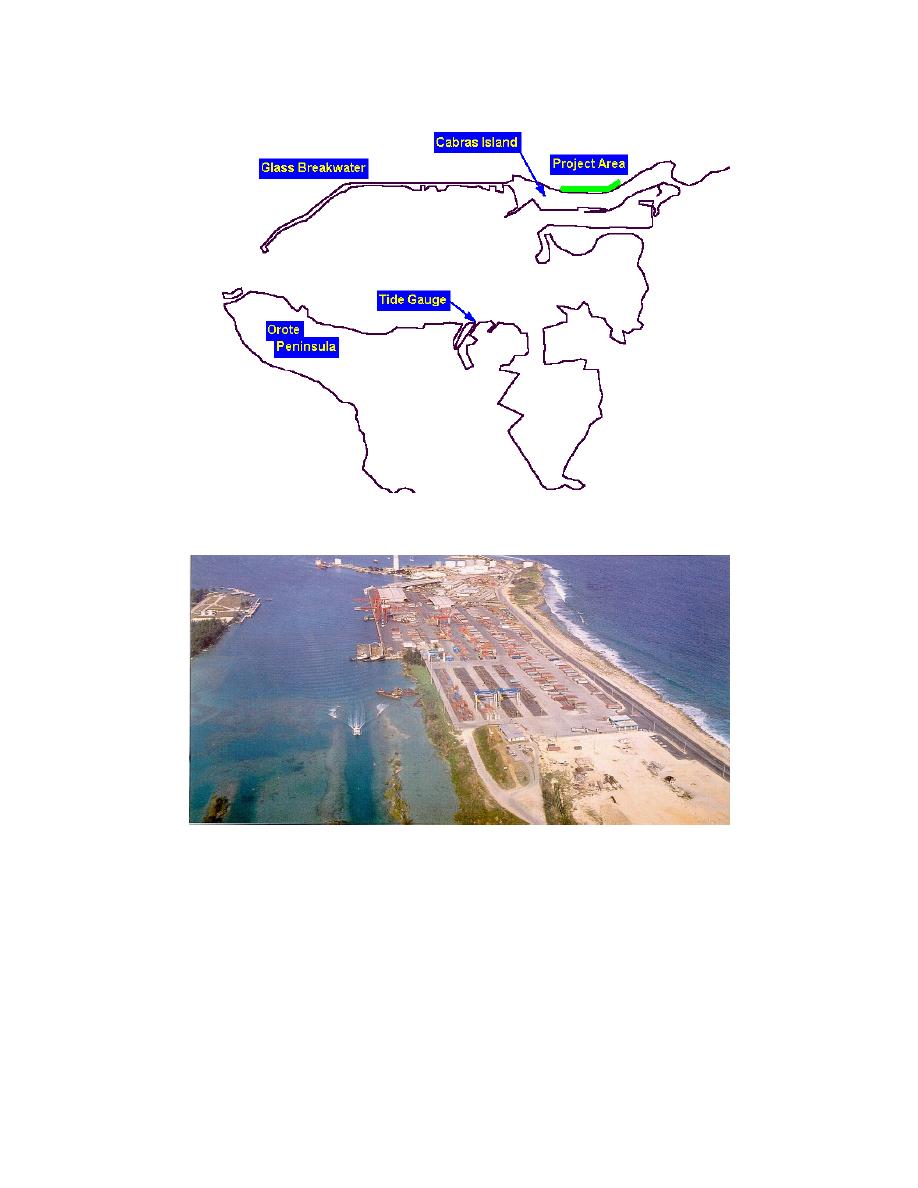
Figure 2.
Location map, Apra Harbor, Guam
Figure 3.
Apra Harbor container yard, looking west along Cabras Island (Port
Authority of Guam)
profiles is shown in Figure 4. The existing seawall is unaffected by the project.
The present study by the U.S. Army Engineer Research and Development Center
(ERDC), Coastal and Hydraulics Laboratory (CHL), was undertaken to assist the
Honolulu District in evaluating the design effectiveness by calculating typhoon
stage-frequency and overtopping relationships for both existing and plan
conditions.
3
Chapter 1
Introduction


 Previous Page
