

ERDC/CHL CHETN- IX-7
December 2001
contour. The harbor regularly services barges, tankers, and bulk carriers. Bulk carriers make
approximately 120 transits per year.
Prototype Measurements: In May 1999, a Differential Global Positioning System (DGPS)
was used to record six degree-of-freedom (DOF) vessel motions on five different vessels
transiting the entrance channel at Barbers Point. Table 1 lists design vessel parameters for these
five vessels from the vessel owners. Two of the vessels were bulk carriers and three were oil
tankers. All vessels had bulbous bows except for the Igrim, which is a smaller icebreaker tanker.
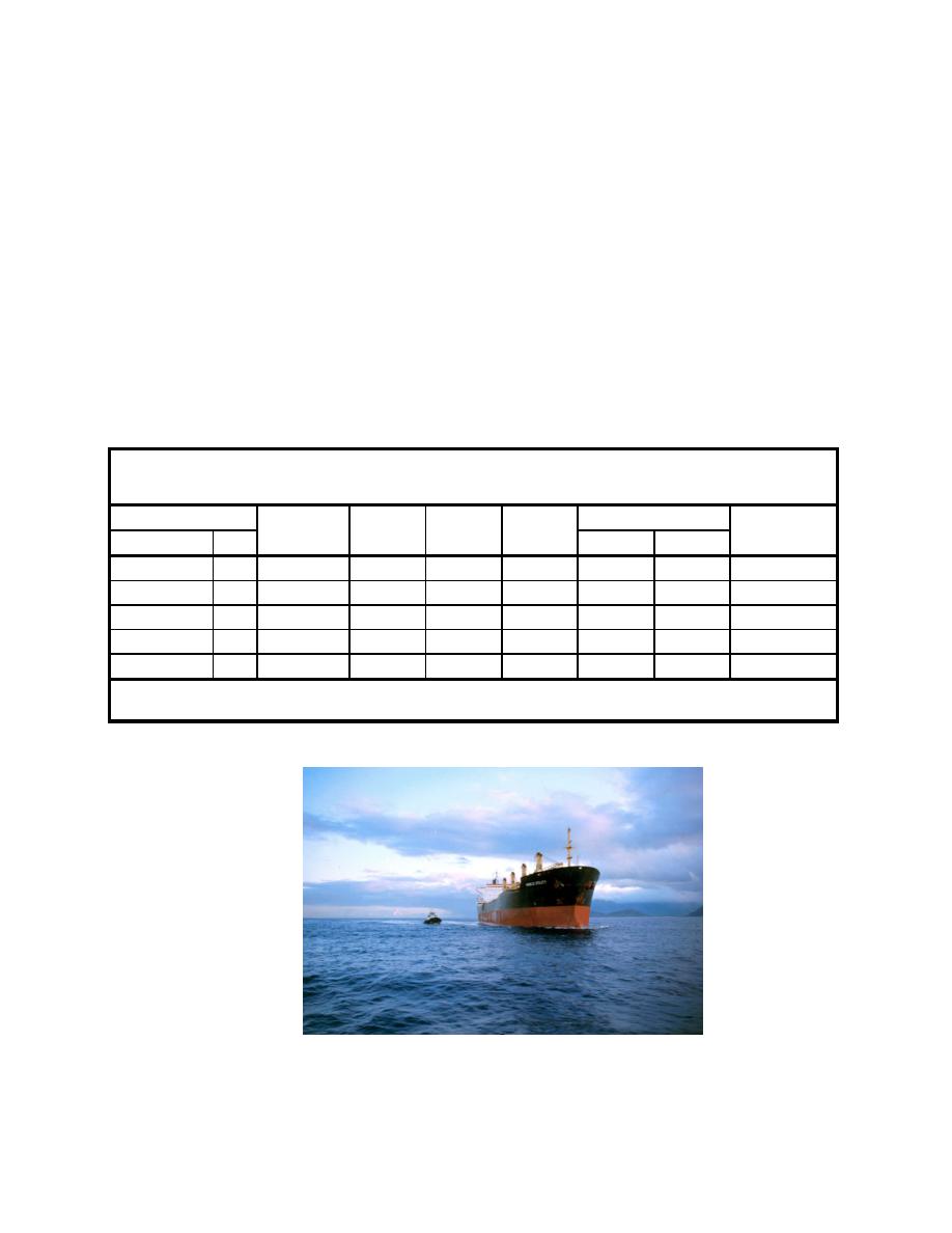
The World Utility is typical of the vessel size and shape for the bulk carriers (Figure 2). Table 2
summarizes the transit parameters for the five vessels including dates, times, ship loading
condition, and actual drafts for inbound and outbound runs. Ship loading reflects the fact that the
ships were not fully loaded for all transits. Three of the vessels were fully-loaded on the inbound
leg and two on the outbound leg. The actual drafts reflect the vessel trim at the bow and stern
during these field measurements and are slightly different than the design or full-load drafts
shown in Table 1.
Table 1
Vessel Parameters Barbers Point Harbor, HI
Vessel
Displacement, mt
Full Load
Type
LOA, m
Beam, m
Draft, m
Block Coef.
Name
Code
Full-Load
Light Ship
A
Bulk Carrier
185.7
30.4
11.6
53,181
7,539
0.83
Atoyac
CAH
Oil Tanker
179.2
30.4
11.0
45,257
N/A
0.79
Carla A. Hills
I
Oil Tanker
160.0
23.0
9.4
24,964
7,564
N/A
Igrim
PC
Oil Tanker
180.0
32.2
11.2
54,613
9,690
N/A
Port Catherine
WU
Bulk Carrier
196.1
32.2
11.7
57,544
9,715
0.76
World Utility
Notes:
N/A = Not Available for the ship
Figure 2. World Utility

 Previous Page
