Date(
Construction and R e h a b i l i t a t i o n H i s t o r y
b a s i n near Nash Road, about 2 miles n o r t h e a s t of Seward. The b a s i n
would i n c l u d e 30 a c r e s dredged t o d e p t h s of -10 t o -16 f t and would
be p r o t e c t e d by a 1,400- ft s o u t h breakwater, a 2,500- ft west brea.__-
_k
~
water, and a 1,700- ft n o r t h s i l t b a r r i e r breakwater. The d e s i g n wave
h e i g h t was 5.0 f t .
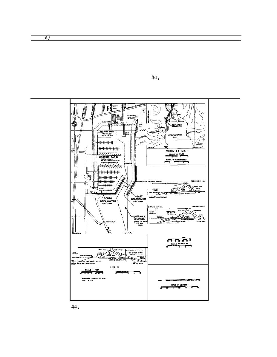
The harbor is illustrated in Figure
and an aerial photograph of
1985
the harbor is presented in Figure 45. There are no reports of needed
repairs or rehabilitations, nor are there reports of action taken on
recommendations for an additional basin.
am,
NORTH
END
SOUTH
END
TYPICAL SECTIONS
EAST BREAKWATER
SCALE IN
-
BREAKWATER
TYPICAL SECTION
SCALE IN MITERS
IN
SCALE IN FEET
S i t e layout of Seward Harbor, Alaska (revised 1984)
Figure
100


 Previous Page
