

227 Project:
Cells 5 & 6
Cell 8
Cell 7
Cell 6
Cell 5
Cell 4
Cell 3
Cell 2
Cell 1
Groin Cell
1- Existing shoreline rock revetment
2 - Existing Beachsaver Reef - 1994
3 Existing Beachsaver Reef - 1994; Beach Fill - 2000
4 Control cell; Beach Fill - 2000
5 Beachsaver Reef (Section 227 Project); Dune base gabions
6 Double-T Sill (Section 227 Project)
7 Control cell
8 Control Cell
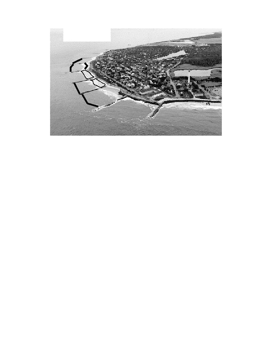
Figure 2. Site plan with groin cell configurations
the mid 1980's little sand was on the City of Cape May beach and a beach fill project was
placed between 1988 and 1991. Additional fill material was placed in 1993, 1995 and
1997, but stopped at the Third Avenue groin, leaving the Cape May Meadows shoreline
some 396 m landward of the Cape May City seawall (USACE, 1997).
To the west of Cape May Meadows, the stone groins at Cape May Point have
been moderately successful, and over a period from 1971 to 1994 the pocket beaches
within the groin cells have experienced variable erosion and dune scarping. Cells 1 to 5
(closest to the ocean) experienced variable erosion and accretion and cells 6 to 8 (closest
to the bay) were generally accretive. The general trend since 1994 was for erosion in all
cells. This erosion now threatens upland infrastructure. The stone revetment in cell 1 at
the dune base has protected the dune and a large shorefront building but there is no dry
beach in that cell. Erosion east of the first groin required placement of stone filled
polymer baskets along the dune face to protect the dune in front of the Cape May
Lighthouse and park. In May 1994, a 305m-long Beachsaver Reef was installed in
cells 2 and 3 as part of the State of New Jersey Pilot Reef Project. These reefs were
placed across the entire length of the cells at the seaward end of the groins, effectively
making an enclosed compartment. A 2-year monitoring (Herrington et al, 1997)
4

 Previous Page
