N
CAPE
MAY
CAPE
POINT
CAPE MAY
MAY
MEDOWS
CITY
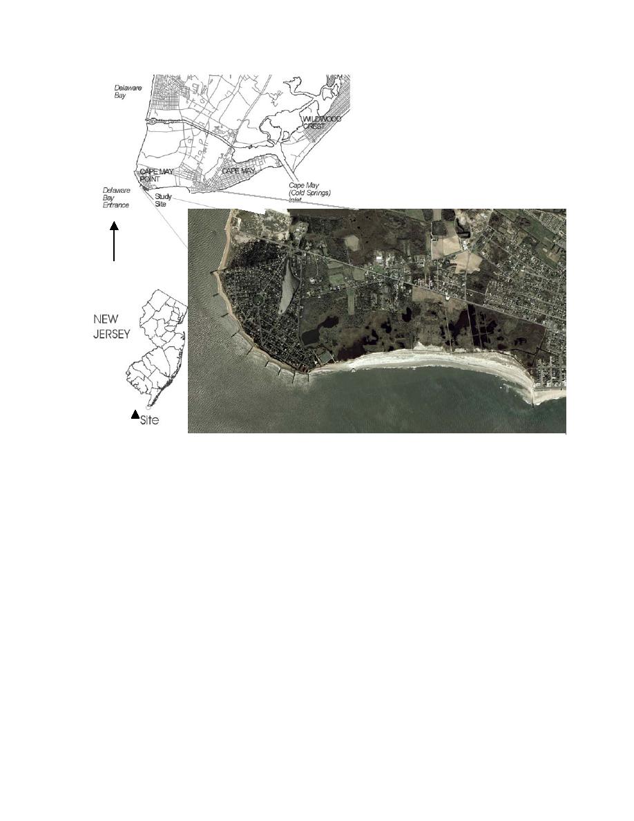
Figure 1. Location Map of Cape May Point, NJ
Between 1930 and 1942, the Borough of Cape May Point, further to the west, also
constructed a series of steel groins along the boroughs shoreline to slow erosion of its
shoreline. Erosion rates were measured around 6.1 m/yr just to the west of Cape May
Inlet and between 5.2 to 6.1 m/yr in the vicinity of Cape May Meadows from 1927 to
1943 (U.S. Congress, 1953). A timber/steel bulkhead was constructed at the eastern end
of Cape May Point in 1934 to protect upland property. Erosion continued downdrift of
Cape May Inlet between 1939 and 1941, and eight additional groins were constructed in
front of Cape May City. At Cape May Point, a series of nine timber and stone groins,
with a length of around 152 m, were completed in 1945 around the point to help stabilize
the eroding shoreline and replace the earlier steel groins. They were placed at ~ 150 to
300 m spacing creating eight groin cells (Figure 2). Between 1946 and 1952, Cape May
City replaced their smaller groin field from east to west with 5 large stone groins and a
continuous stone seawall. Two new groins were constructed on the west end of Cape
May City between 1952 and 1954. After the Ash Wednesday Northeaster of 1962, the
City rehabilitated the existing groins and constructed two additional groins for a total of
nine groins that covered the entire length of the city's beachfront. This shore protection
stabilized the Cape May City's shoreline, but west of the last groin at Third Avenue, a
crenulated-shaped shoreline formed in front of the unprotected Cape May Meadows. By
3


 Previous Page
