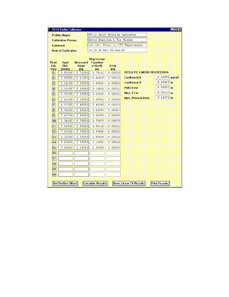
Figure 50. Calibration panel in the MTS control software for the beach profile
indicator (Permission to reprint granted by MTS Systems Corp.)
Measurement of beach profiles
The PV-12 Profiler Operation panel, shown in Figure 51, can be accessed
under the Operation menu of the MTS control software. This panel is used to
define the longshore location, as well as the onshore and offshore ends of each
transect. For the example shown in this figure, 39 transects were measured, one
transect every 0.5 m along the beach. The system is fully automated and operates
as follows. First, the MTS control software moves the support platform to locate
the sensor at the offshore x-y position of the first transect. The system lowers the
sensor to the moveable-bed. Next, the x-axis drive motor moves the profile
indicator in the shoreward direction at the selected speed of 0.1 m/sec. The x, y,
and z positions of the sensor are measured every 0.005 m in the cross-shore
90
Chapter 8
Sensor Calibration, Measurement, and Data Analysis


 Previous Page
