Rock Scatter
Previously Unmapped
Oc ea ns id e H ar bor
SO-9
# 4C
# 3C
# 2C
4B
# 1C
#
#3B
# 4A
Dredg e A rea
2B #
# 3A
# 1B
(Note: Dredge area
# 2A
reduced in FEIR/EA
by approximately
# 1A
25 percent)
Bo rro w
S ou th O ce an side
e
dg
re
Site
Re c eiv er S it e
D
ine
(M ax imu m Len gth )
eL
g
ar
ch
s
Di
-6
Buc c a nee r
0
B ea c h
-1
00
-9
0
<
App rox i m ate O c ean s ide
Ou tfa ll Lo c ation to a
D e pth o f -1 05 '
No rth Carls bad
Rec eiv er S ite
(A ltern ativ e 1 O nly)
# C D F G AR T IF IC IAL R E EF S
Sou rce : M of fat t & Nich ol En gine ers
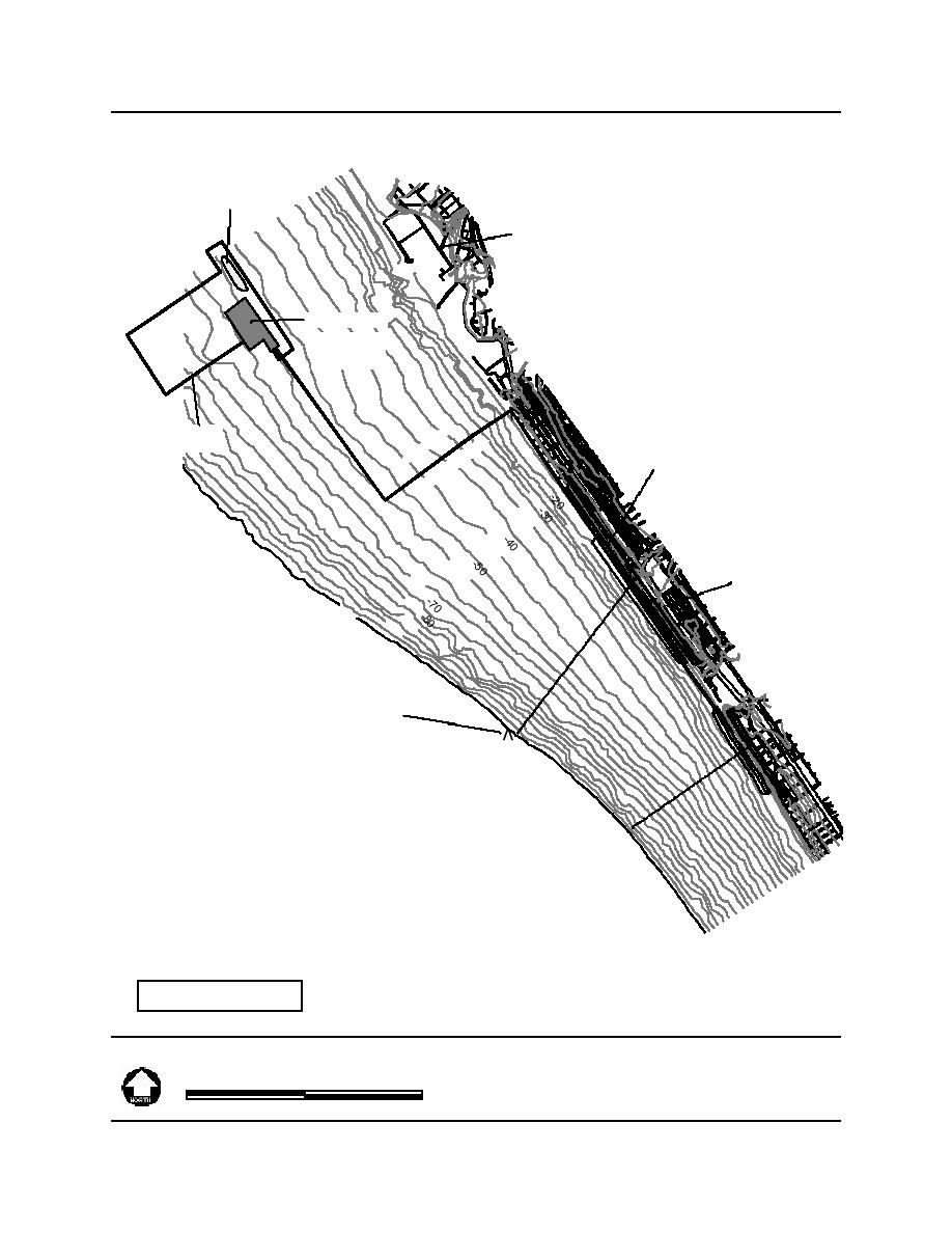
Fig ure 2- 15
SO -9 D redg ing
500 0
0
500 0 Fe et
and Di sch arg e P lan
Reg io n al B each Sand P ro ject EIR /EA
Page 2-3 2
9969.1 SANDAG\GIS\ Fig 2-15 SO9.apr 3/14/00


 Previous Page
