

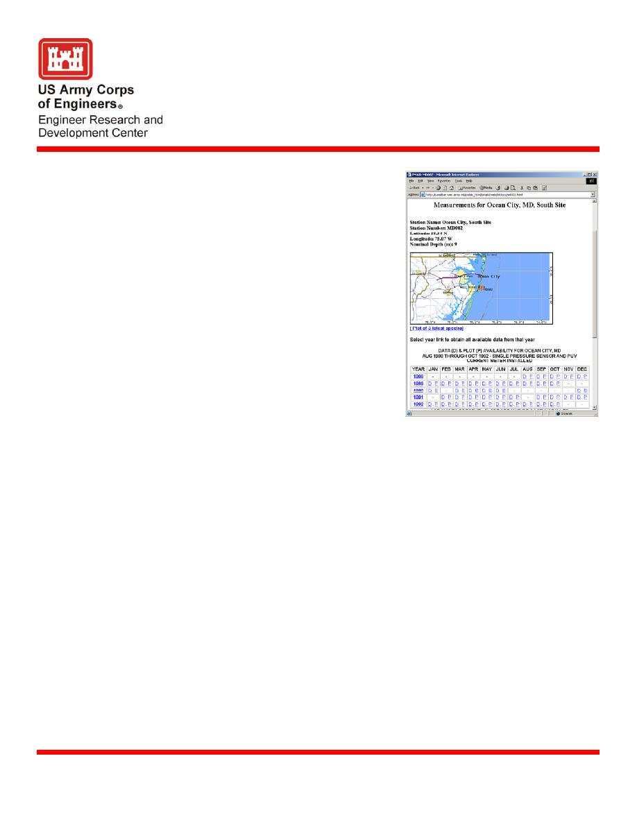
Ocean City, MD Wave Gage
Description
Field Data Collection and Analysis Branch
operates one directional wave gage, one high
resolution tide gage and a barometer near
Ocean City, MD for the. Wave gage has been
in existence since 1988.
Performance monitoring of the Ocean City
Issue
shore protection project is in accordance with
guidance in the USACE Engineering Manual
EM-1110-2-1004 (Coastal Project
Monitoring). Monitoring includes observing
near-shore wave properties and water levels to
determine if the project is protecting the shore
in conformance with the design specifications.
In addition, the water level data are used for
survey control purposes at Ocean City inlet
and Assateague Island.
Products include near real-time processed
Products
wave and water-level data and barometric
pressure data. Periodic reports are prepared updating the wave statistics and highlighting
storms of note.
The measurement system uses a trio of very stable, high-resolution pressure sensors to
Supporting Technology
make continuous six-minute observations of water level and hourly wave observations.
The observed data are queried via telephone line by a central computer automated data
acquisition and processing system, then automatically posted to a web site for user access.
Analyzed data are provided to CENAB, U.S. Fish and Wildlife Service, and state and local
Benefits
agencies for determining performance of the shore protection project, making investment
decisions on project maintenance, and as supporting information for related studies.
U.S. Army Engineer District, Baltimore (CENAB)
Sponsors
Andrew Garcia, email . Additional information can be found at
Point of Contact
ERDC, U. S Army Engineer District Baltimore, Maryland Department of Natural
Partners
Resources, City of Ocean City.
U.S. Army Engineer Research and Development Center
22 Sep 2004
Coastal and Hydraulics Laboratory (Project/Mission Support)
www.erdc.usace.army.mil

 Previous Page
