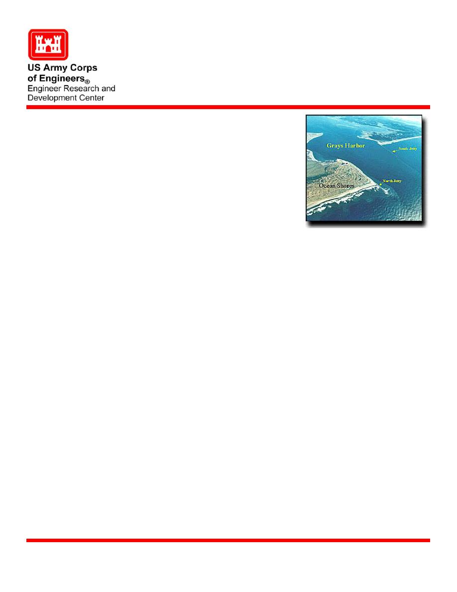
Grays Harbor North Jetty Study
Description
Grays Harbor, located in southwest Washington, is
one of the largest estuaries in the continental
United States with a correspondingly large tidal
prism. Facing towards the Pacific Northwest
Ocean, the entrance to Grays Harbor experiences
the most extreme wave climate in the continental
United States.
The Corps of Engineers has developed, built, and
Issue
maintained two rubble-mound jetties, a deep-draft
navigation channel, and other navigational features
in Grays Harbor. The North Jetty has decreased in
effectiveness as a result of subsidence and
deterioration. Sediment is being transported into
Grays Harbor, Washington
the channel and on to neighboring shoals,
potentially increasing the need for maintenance
dredging. The North Beach has exhibited a tendency to erode, reversing a historic trend of
advance. The U.S. Army Engineer Research and Development Center (ERDC), Coastal
and Hydraulics Laboratory (CHL) conducted a study to identify and evaluate engineering
alternatives for reducing annual maintenance for the Federal navigation channel by
reducing the amount of sand bypassing the north jetty.
Proposed solutions to the erosion of North Beach were evaluated in a physical model study
Supporting Technology
using a computer-controlled directional wave generator to reproduce design storm events.
Numerical models with variable grid-spacing examined sediment transport tendencies both
seasonally and long-term.
The study revealed many wide-area processes controlling sedimentation in and around
Benefits
Grays Harbor. Estimated benefits and costs for a range of solutions were developed and
submitted to the District.
U.S. Army Engineer District, Seattle (NWS).
Sponsors
Dr. Donald Ward, U.S. Army Engineer Research and Development Center, ATTN:
Point of Contact
CEERD-HN-H, 3909 Halls Ferry Road, Vicksburg, MS 39180-6199; e-mail:
. Additional information can be found at
U.S. Army Engineer Research and Development Center
November 2004
Coastal and Hydraulics Laboratory (Project/Mission Support)
www.erdc.usace.army.mil


 Previous Page
