

Physical Model Study of The
Dalles Behavioral Guidance
System (BGS)
Description
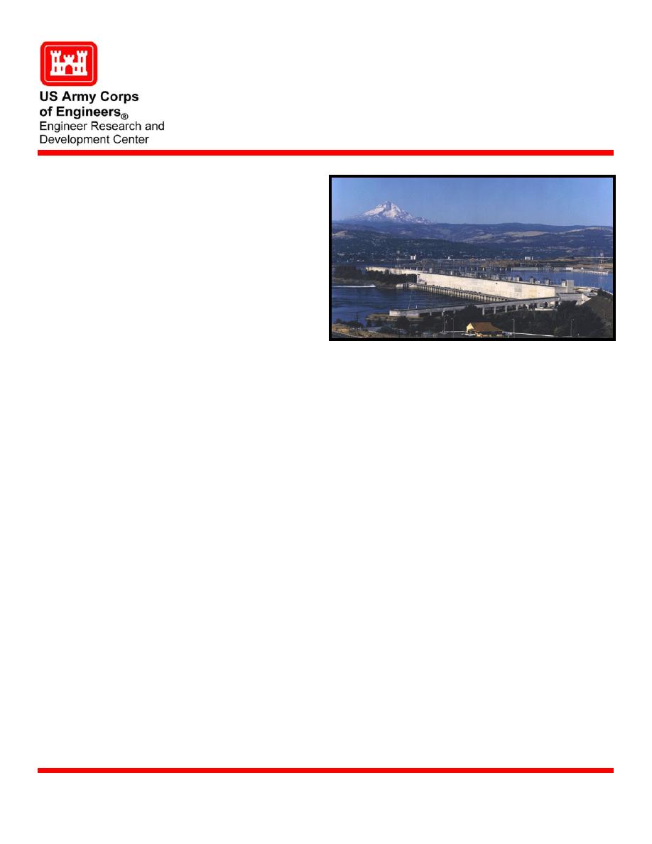
The Dalles Dam is located
192 miles upstream form
the mouth of the Columbia
River, two miles east of the
city of The Dalles, Oregon.
The dam extends 1.5 miles
from the Oregon shore to
the navigation lock on the
Washington shore. Because
the boundary between the
two states follows the old
river channel, The Dalles
Dam is almost entirely in
the state of Washington.
The Dalles Dam, Washington
The project consists of a
navigation lock, spillway, powerhouse and fish passage facilities. Various recreational
facilities are provided along Lake Celilo, the 24-mile-long impoundment behind the dam.
The federal hydropower dams on the Columbia River were designed and constructed for
multipurpose use, one being the balanced use of the basin's water resources. The US
Army Corps of Engineers (USACE) considers fish passage as a primary operational
function.
Issue
During 2004, a decision was made to investigate a Behavioral Guidance System (BGS) in
the forebay of The Dalles Dam in order to increase fish passage survival. The US Army
Engineer Portland District contacted the Coastal and Hydraulics Laboratory (CHL) at the
US Army Engineer Research Development Center (ERDC) to construct a BGS model in
FY05. Results taken from the existing 1:80 physical model and numerical models,
Computational Fluid Dynamics (CFD), and Numerical Fish Surrogate Model, will be used
in determining the preliminary BGS site selection.
US Army Corps of Engineers, Portland District (CENWP)
Sponsors
Mr. Glenn Davis, US Army Engineer Research and Development Center, Coastal and
Point of Contact
Hydraulics Laboratory, CEERDC-HN-HI,
3909 Halls Ferry Road, Vicksburg, MS 39180-6199
e-mail:
U.S. Army Engineer Research and Development Center
March 2005
Coastal and Hydraulics Laboratory (Project/Mission Support)
www.erdc.usace.army.mil

 Previous Page
