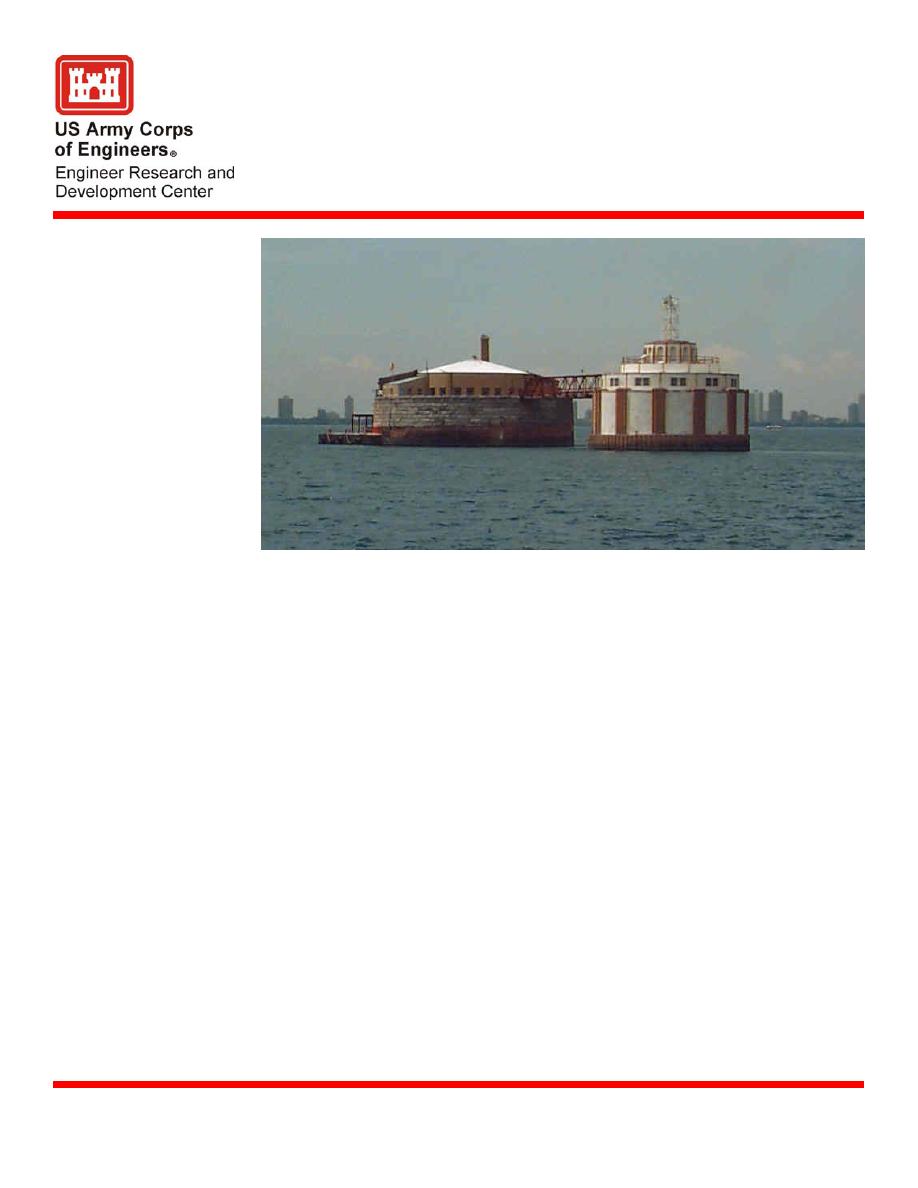
Chicago, Illinois, Directional Wave
Gauge
Description
The Coastal and Hydraulics Laboratory (CHL) operated and maintained a directional wave
gauge near the Harrison-Dever water intake cribs from 1989 through 2003. Data are
available on the Internet beginning from October 1991 through June 2003 from
link)
Issue
Information from the wave gauge has been used to support projects of the Chicago
District of the US Army Corps of Engineers. Data are also used by the National Weather
Service to validate nearshore forecasts and by the Wave Information Studies (WIS) to
validate hindcasted wave data.
Products
summaries and extremal analysis are updated annually and posted to the Internet.
Supporting Technology
Gauge was bottom mounted and data were transmitted via double armored cable to a
remote terminal unit (RTU) mounted in the crib. The RTU was polled every 2 hr and data
were transferred by telephone to a computer at CHL where it was analyzed, quality-
checked and posted to the Web.
Knowledge of actual wave conditions allows the Chicago District to respond effectively
Benefits
when storms threaten the lakeshore
U.S. Army Engineer District, Chicago
Sponsors
Margaret A. Sabol, Margaret.Sabol@erdc.usace.army.mil http://sandbar.wes.army.mil
Point of Contact
U.S. Army Engineer Research and Development Center
December 2004
Coastal and Hydraulics Laboratory (Project/Mission Support)
www.erdc.usace.army.mil


 Previous Page
