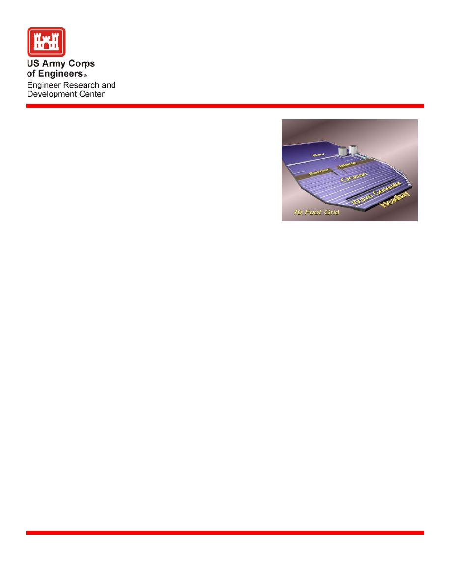
Coastal Inlet Model Facility
The Coastal Inlet Model Facility, as part of
Purpose
the Coastal Inlets Research Program (CIRP),
is an idealized inlet dedicated to the study of
coastal inlets and equipped to represent the
most significant physical processes at and
around inlets. An inlet is a region
connecting two or more large bodies of
water by a relatively short and narrow
channel. The water bodies may be an ocean
and lagoon, a large lake and a bay, or a river
entering a sea or lake. Many processes at
inlets can be examined in a thorough and
efficient manner in a dedicated inlet physical
Drawing of Coastal Inlet Model Facility
model. A 1:50 undistorted scale was
assumed to determine reasonable inlet
dimensions, however other scales can easily be assumed to accommodate the study of
specific processes because of the simplified bathymetry in the model. The basin at this
time contains an inlet with fairly steep beach slopes so that additional features (such as an
ebb shoal) can easily be added. Also the bathymetry can be remolded in the inlet entrance
area to the more complex bathymetry of an actual inlet, either in fixed-bed (concrete) or
movable-bed (sand). Ebb and flood shoal areas can also be modified to represent more
complex bathymetries.
The facility consists of a 150 ft (46 m) wide by 325 ft (99 m) long concrete basin with 2 ft
Specifications
(0.6 m) high walls. It is connected to a large sump (volume of 1.98x10⁶ liters (523,000
gal)) for water exchange so that tides may be produced in the facility's ocean to drive tidal
currents into and out of the inlet bay. Steady-state flood and ebb currents through the inlet
may also be created. An 80-ft-long unidirectional wave generator located in the ocean
produces either irregular or monochromatic waves. Incident wave direction can be varied
for specific experiments by moving the generator to different locations. Wave height,
water level, tidal currents and wave-generated currents are all measured with state-of-the-
art instrumentation. A ceiling mounted web camera can be used on all studies and is
remotely accessible and configurable. In addition, the web camera can be zoomed in to a
particular location and video recordings can be made.
Benefits
Coastal inlet project features and processes may be easily focused on and examined in
detail with respect to tidal currents, wave-generated currents and sediment pathways.
Application
Used to develop understanding of inlet inner-bank erosion, inlet equilibrium area, wave-
current interaction in the navigation channel, sediment pathway alteration with jetty spurs
and jetty weirs, and wave diffraction-refraction effects at coastal inlets.
William C. Seabergh, CEERD-HN-H, 3909 Halls Ferry Road, Vicksburg, MS 39180-
Point of Contact
6199, e-mail: . Additional information can be
U.S. Army Engineer Research and Development Center
September 2004
Coastal and Hydraulics Laboratory (Facility)
www.erdc.usace.army.mil


 Previous Page
