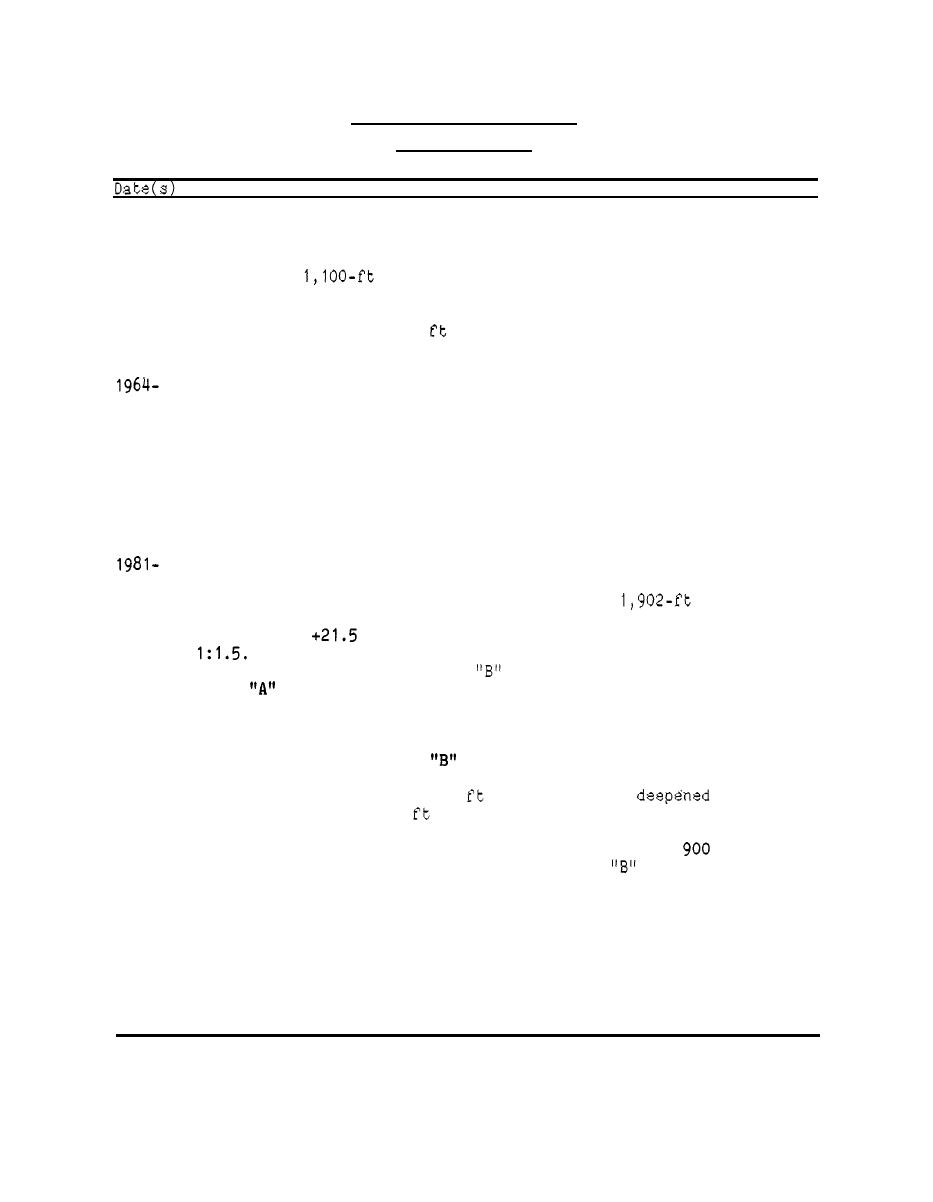
Table 1
Cordova Small-Boat Harbor
Cordova, Alaska
Construction and Rehabilitation History
The small-boat basin was authorized.
1935
The project was completed, including 8.26 acres dredged to -10 ft
1938
north breakwater and a 1,400-ft south breakwater
mllw; and a
were constructed.
The area was uplifted 6 4
.
in an earthquake. Expansion was
1964
authorized.
The basin was rehabilitated by repairing and strengthening break-
waters, constructing an access road along the crest of the north
1965
breakwater, and dredging the basin plus an additional 1 . acres to
04
-14 ft mllw.
An entrance breakwater was constructed. The harbor at this stage is
1966
shown in Figure 4.
Expansion was authorized.
1981
The basin was expanded by 19.55 acres by removal of the 1,400-ft
south breakwater, construction of a 650-ft extension to the existing
1983
silt barrier breakwater, and construction of a
rubble-mound
breakwater. A rubble-mound breakwater was constructed to crest
ft mllw, crest width of 7 ft, and side slopes of
elevation of
The breakwater was constructed of a 2-ft-thick bedding layer
of rock spall, a core of Class
rock, and a 4.5-ft-thick layer of
armor rock extending to 1.5 wave heights below low tide on
Class
the north section of the breakwater and to the tidal flats on the
other sections. The silt barrier breakwater was constructed of a
2-ft-thick underlayer of rock spall, a core of rock spall, and a
rock. Cross sections of the break-
protective layer of Class
the
mllw; the Corps
local interests to -12 to -16
entrance channel to - 16
mllw.
The design wave was 5.6 ft. Class "A" armor rock was
to 1,500 lb
rock was 14 to
with 75 percent greater than 1,200 lb. Class
1,000 lb with 50 percent greater than 100 lb. Rock spall was 6 in.
minus.
The harbor is illustrated in Figure 5 , and an aerial photograph of
1985
the harbor is presented in Figure 6. The breakwaters appear in good
condition at this time.
40


 Previous Page
