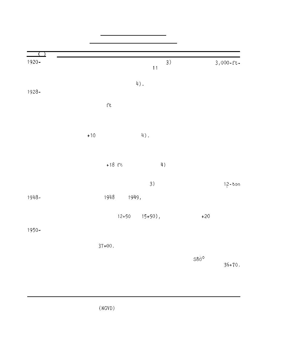
Table 1
Crescent City Breakwater
Crescent City Harbor, California
Date s
Construction and Rehabilitation History
provided for a
The initial work at the project (Figure
1926
long rubble-mound breakwater, 6 to
ft above mean lower low water
(mllw) with a 20-ft crest width. The first 2,245-ft length of
breakwater was completed in 1926. Ten-ton armor stones were used
for slope protection (Figure
A 14-ft-wide concrete cap was added to the original 2,245 ft of
structure raising the crest elevation to 1 ft mllw.
4
1930
An additional 755
1931
of breakwater construction was completed re-
sulting in a 3,000-ft-long structure.
1939
Construction of a rubble-mound sand barrier connecting Whaler
Island to the shore (Figure 3) was completed to prevent shoaling.
The barrier structure was 17 ft wide at its crest with an ele-
An armor layer of 4- to 6-ton
vation* of
ft mllw (Figure
stones protected the ocean side of the sand barrier.
1946
Construction of a 1,200-ft-long inner breakwater was completed to
provide protection to a small-craft basin. The inner breakwater
extended from Whaler Island northwest (Figure 3 ) . The crest el of
the structure was
mllw (Figure
and 10- to 12-ton armor
stones were utilized during construction.
A 1,000-ft-long extension of the original (outer) breakwater ex-
1948
was completed. Ten- to
tending toward Round Rock (Figure
armor stones were used.
the 1,000-ft-long extension of the
and
During storms of
outer structure suffered considerable damage.
1949
The crest el of the entire outer breakwater, with the exception of
1950
to
was raised t o
ft mllw
a 300-ft segment (sta
with a 22-ft-wide concrete cap to prevent overtopping.
Winter storm seasons resulted in further damage to the outer break-
water. Damages consisted of displacement of the concrete cap and
1951
armor stones down to about 0 0 mllw in all of the extension located
.
seaward of sta
A modification was authorized which provided for a 1,000-ft-long
1952
E (Figure 3 )
extension of the outer breakwater on a bearing of
and for abandonment of the existing structure seaward of sta
(Continued)
*
All elevations (el) cited herein are in feet referenced to National
of 1929.
Geodetic Vertical Datum
11


 Previous Page
