

Research performed in the LSTF led to development of a physics-based model to calculate
Application
the cross-shore distribution of longshore transport rates. Additionally, the model also
predicts cross-shore distribution of wave height, longshore, and cross-shore currents The
research was a collaborative effort between the Navigation Systems Research Program and
the Massachusetts Institute of Technology.
Hydrodynamic data from the LSTF were used to develop NEARHYDS, a numerical model
that accurately predicts the cross-shore distribution of longshore currents under the
Navigation Systems Research Program.
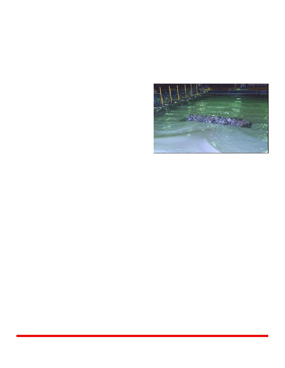
As part of the Coastal Inlets
Research
Program,
enhancements to the GENESIS
shoreline change model have
been
implemented
from
experiments conducted in the
LSTF. Results from the facility
were used to incorporate notched
groins, detached breakwaters,
and T-Head breakwaters into
GENESIS.
Detached Breakwater Study in the LSTF
The Naval Research Laboratory utilized the LSTF to develop a model to simulate inner
surf and swash zone flows. Capabilities of the model include prediction of the free
surface, fluid velocities, acceleration, pressure, pressure gradients and bed shear stresses.
The University of Delaware applied LSTF data in the development of a nearshore
sediment transport model and a kinematics wave model, which were both incorporated into
the SHORECIRC model.
Point of Contact
Ernest Smith, CEERD-HC-CT, 3909 Halls Ferry Road, Vicksburg, MS 39180, phone
(601) 634-4030, e-mail . Additional information can be found at
US Army Corps of Engineers Navigation Systems Research Program and Coastal Inlets
Partners
Research Program; Naval Research Laboratory, University of Delaware, Massachusetts
Institute of Technology.
U.S. Army Engineer Research and Development Center
October 2004
Coastal and Hydraulics Laboratory (Facility)
www.erdc.usace.army.mil

 Previous Page
