

National Erosion Control Development and Demonstration
Program (Section 227)
Cape Lookout State Park, Oregon
Description
Cape Lookout State Park is a popular campground and day-use area located on the
northern Oregon Coast approximately 20 km (12 miles) SW from Tillamook or 1-1/2 hr
west of Portland. The park is located on a sand spit between Netarts Bay and the Pacific
Ocean at coordinates 45.366 N and 123.962 W. The park is located at the south end of a
"pocket beach" littoral cell, immediately north of Cape Lookout.
Issue
Dynamic revetments appear
to offer an alternative
method of shoreline erosion
control that provides a
natural-looking solution
without any hardened
structures. Unfortunately,
very little design guidance is
available for design of
dynamic revetments. The
recently completed dynamic
revetment at Cape Lookout
provides an opportunity to
study the reaction of the
revetment to a known wave
environment and document
the naturally occurring
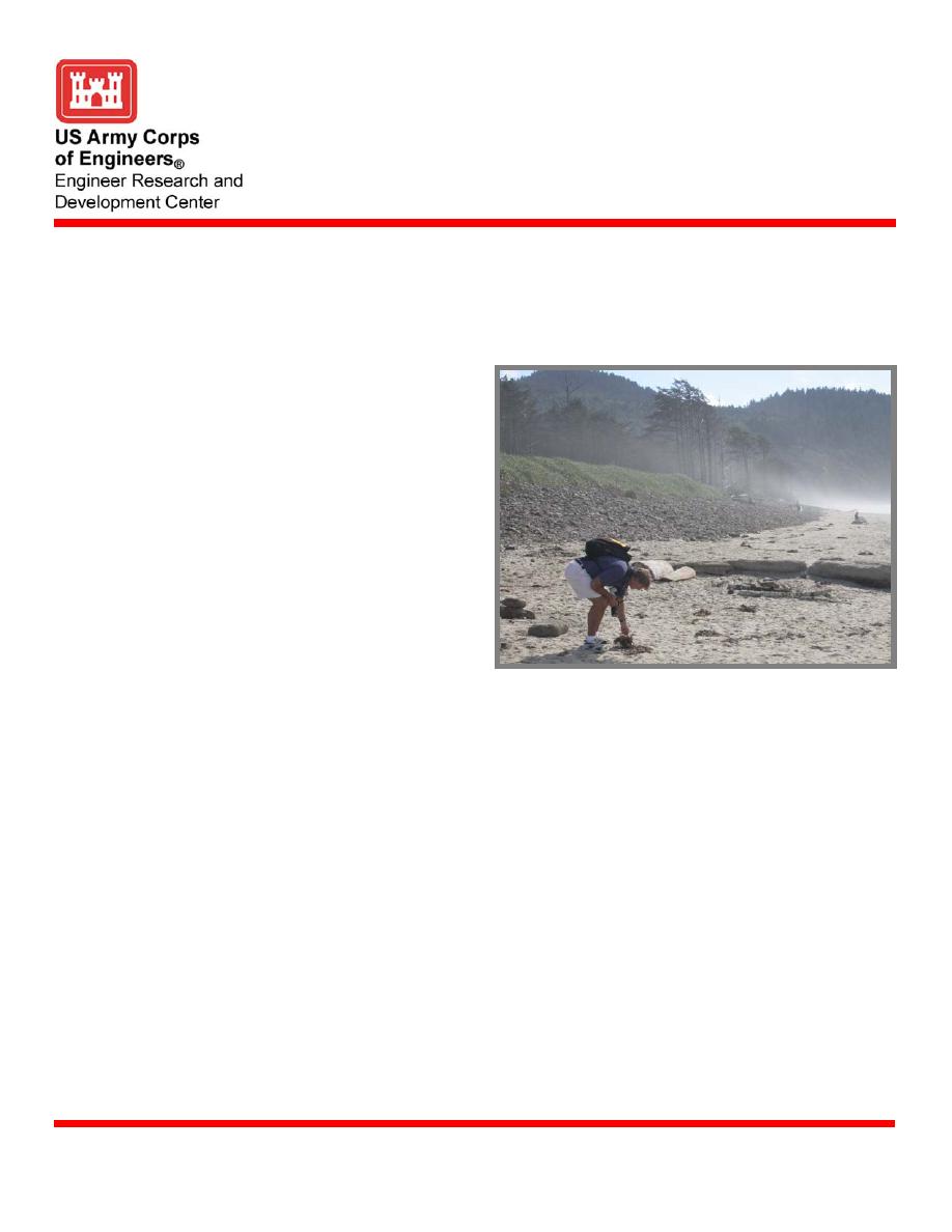
Dynamic cobble revetment, Cape Lookout State
revetment planforms.
Park, Oregon
Technology
A series of surveying transects have been established across the dynamic revetment and
beach, and also along areas adjacent to the revetment project and across a naturally
occurring cobble beach. The project includes surveying along the established transects on a
regular basis with additional surveys conducted after storms. In addition, the forcing
function of incident waves will be calculated with data from an existing offshore wave
buoy, and wave runup and overtopping will be estimated based on the incident waves.
Characteristics of the revetment including stone size distribution will be determined.
Status
Monitoring work is continuing on the cobble beach fill at Cape Lookout State Park and
adjacent shorelines. Survey lines along the project and adjacent sites are taken on a regular
basis with additional surveys taken after large storm events. Sediment samples have been
studied to determine the cobble size distribution used on the project, and movement of
marked stones has provided insight into transport of the cobbles. Incident wave heights,
periods, and direction are collected regularly from an offshore wave gauge and
numerically shoaled and refracted to the project site.
Points of Contact
Donald L. Ward, CEERD-HC-PS, 3909 Halls Ferry Road, Vicksburg, MS 39180-6199;
phone, (601) 634-2092; e-mail,
U.S. Army Engineer Research and Development Center
May 2005
www.erdc.usace.army.mil

 Previous Page
