

Fact Sheet
US Army Corps of Engineers
US Army Engineer Research and Development Center
January 2004
Public Affairs Office
3909 Halls Ferry Road
Vicksburg, MS 39180-6199
(601) 634-2504
http://www.erdc.usace.army.mil/
Advanced Nearshore Circulation and Sediment Transport Modeling
Purpose: To develop a physics-based model of circulation and sediment transport in the surf
zone to improve Corps sediment management practices.
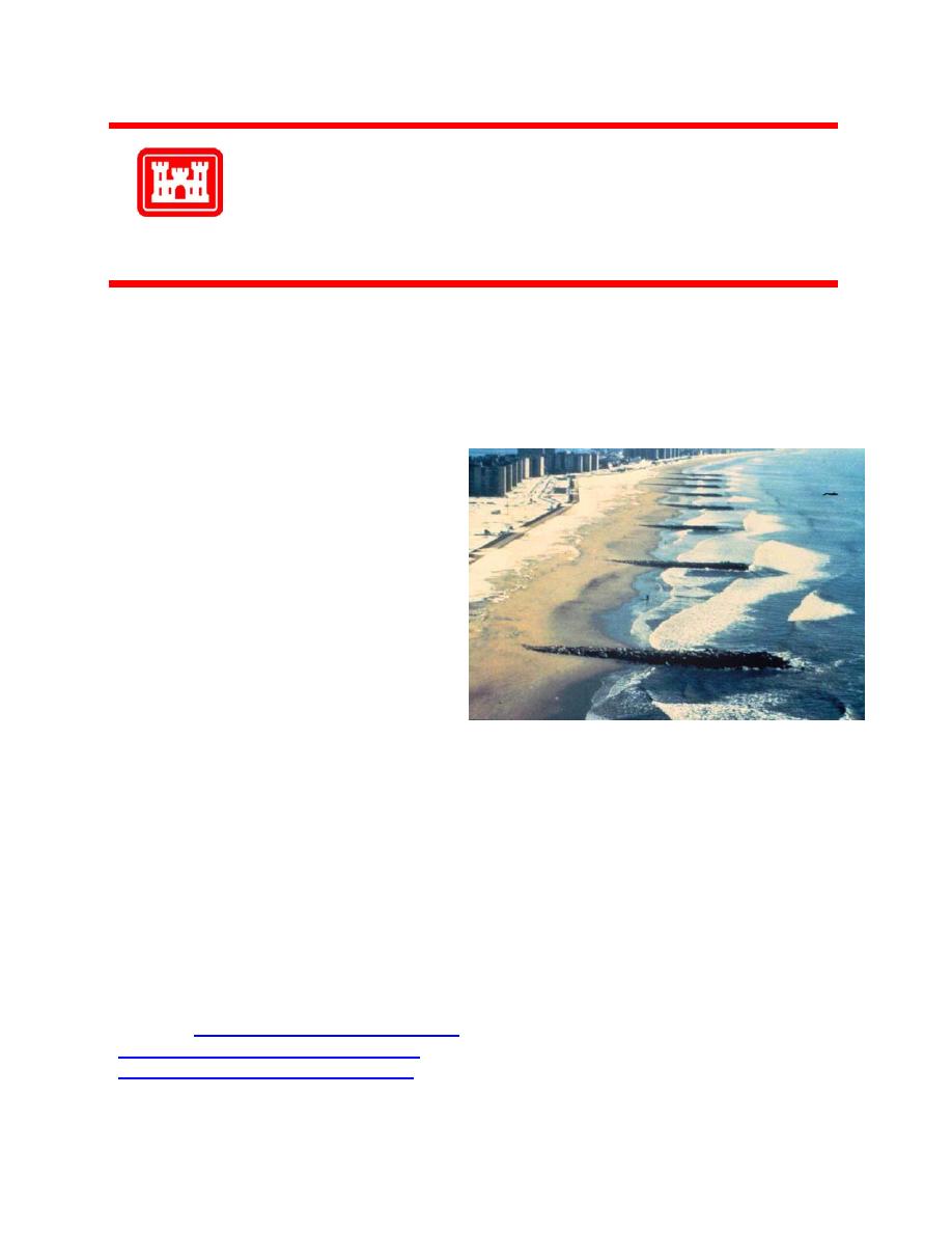
Background: The processes by which near-
shore waves and currents interact with
bathymetry and coastal structures, sometimes
forming rip currents, and the processes by
which sand is transported around, over, and
through structures are not well understood.
In general, nearshore currents and sediment
transport have significant vertical and hori-
zontal structure, but these are not included in
the present generation of coastal models.
Advanced capabilities to numerically model
the details of nearshore circulation and sedi-
ment transport are critical to reduce the cost
and improve the performance of Corps pro-
ject design.
ment of a quasi-2D (cross-shore and vertical) numerical model of surf zone currents. This model
includes irregular wave forcing, mass transport, undertow (offshore flow in the lower water col-
umn), sand ripple prediction, full wave-current boundary layer solution, wave setup, and long-
shore current. The model relies on a minimum of empiricism and was verified using data from
the Large-scale Sediment Transport Facility (LSTF) at ERDC. The LSTF is a unique facility for
measuring waves, currents, sediment transport, and beach morphology development at large
scales. Future work will develop a flexible, quasi-3D model to give reliable estimates of near-
shore circulation and sediment transport.
Points of Contact: For additional information, please contact Dr. Jane McKee Smith at 601-
634-2079 ( ), Dr. Bradley D. Johnson at 601-634-4612
( ), or Mr. Bruce A. Ebersole at 601-634-3209
( )"> ).

 Previous Page
