

Physical Model Study of Rough
River Outlet Works Stilling Basin,
Louisville, Kentucky
Description
Rough River Lake is
situated in Breckinridge,
Hardin, and Grayson
Counties in south central
Kentucky. The dam is
located on the Rough River
near the community of
Falls of Rough, about 20
miles from Leitchfield and
95 miles southwest of
Louisville.
The project consists of a
1,590-ft-long, earth-fill
embankment having a
maximum height of 130
feet above the streambed, a
gate-controlled outlet works
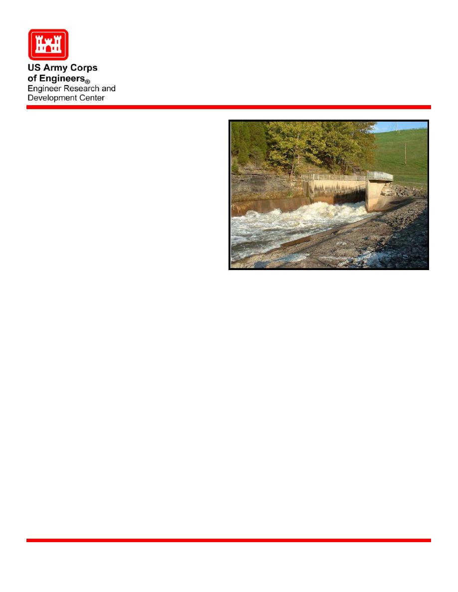
Rough River Lake outlet bucket during high discharge
along the base of the right
abutment, and a 65-ft-wide, uncontrolled, open-cut spillway through a natural saddle in the
left abutment.
The Louisville District of the Corps of Engineers designed, built, and operates the Rough
Issue
River Lake project to reduce flood damages downstream from the dam. In May 2004, the
District completed a Dam Safety Assurance Program Evaluation Report of the Rough
River Lake. The hydraulic and hydrologic analyses for this report focused on the spillway
and outlet works system of the project. Although it was determined there was a grave need
for improvements to the system, investigative results also showed there was
(1) no hydraulic design criteria consistent with Rough River outlet works system, and
(2) no applicable guidance that covered energy dissipation methods for reservoir outlet
works systems for all flow regimes. Consequently, physical modeling was recommended.
US Army Corps of Engineers, Louisville District (CELRL)
Sponsors
Mr. Glenn Davis, US Army Engineer Research and Development Center, Coastal and
Point of Contact
Hydraulics Laboratory, CEERDC-HN-HI,
3909 Halls Ferry Road, Vicksburg, MS 39180-6199
e-mail:
U.S. Army Engineer Research and Development Center
March 2005
Coastal and Hydraulics Laboratory (Project/Mission Support)
www.erdc.usace.army.mil

 Previous Page
