Home
Download PDF
Order CD-ROM
Order in Print
Home
>
Coastal and Hydraulics Laboratory Fact Sheets
>
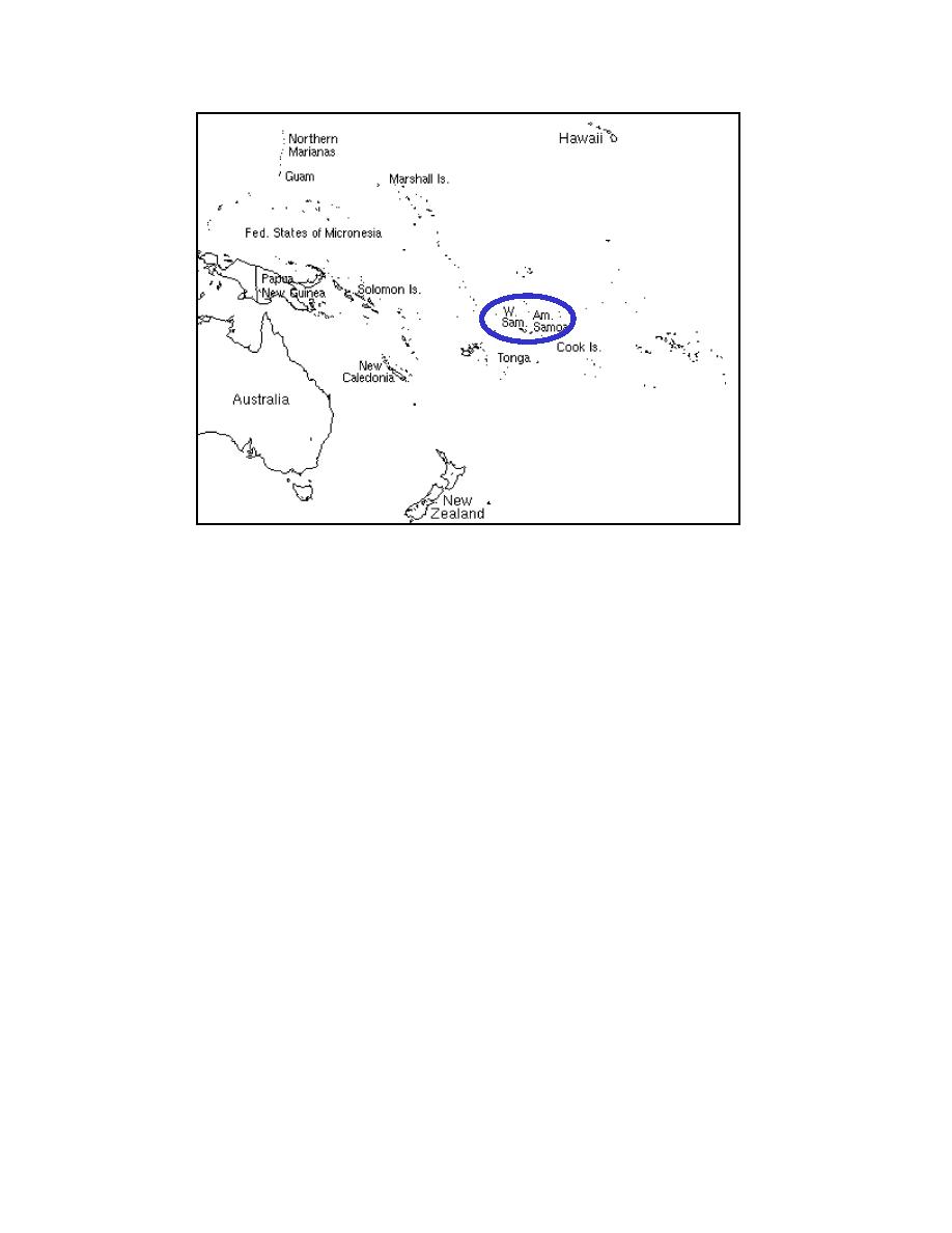
> Figure 1. Location map of study area - 1_Samoa0011
Study Approach (cont.)
Figure 2. Location map for Tutuila and Pago Pago Harbor
1_Samoa
Page Navigation
1
2
3
4
5
6
7
8
9
Figure
1.
Location
map
of
study
area
4
Chapter
1
Introduction


 Previous Page
