
| Tweet |

Custom Search
|
|

|
||
 0
65
E
L
1
2
IRC
64
C
4
63
645
635
6
62
631
637
630
625
633
620
624
615
629
603
616
617
ST
611
543
OCEAN
199
535
601
01
2
531
518
27
8
5
52
516
533
3
52
Reach 1
4
52
514
527
29
19
5
5
512
itas
5
5
51
ncin
52
ach
E
510
515
a Be
n
1
Sola
51
508
503
8
507
50
506
9
50
504
TA
5
VIS
Reach 2
50
02
5
440
A
LAN
503
SO
430
1
50
420
475
419
423
420
415
Reach 3
414
411
417
408
409
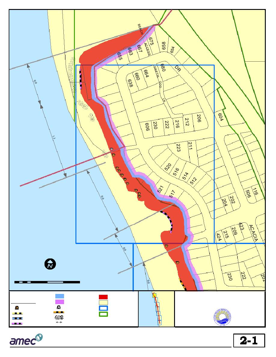
1 inch equals 200 feet
407
Feet
403
0
50 100
200
300
400
Solana Beach
LEGEND
50 Year Setback Line
Slope
Shoreline and Coastal Bluff
Protective Devices
100 Year Setback Line
Parcels
Management Strategies
Unfilled Sea Caves
Filled Sea Caves
Map Index
Notch Fill
Revetment
General Planning
Cobble Beach
Zoning Boundary
Rock Bolts
Average Erosion Rate
Seawall
within Reaches (ft/year)
Source: City of Solana Beach GIS Database
FIG U R E
Existing Shoreline Protection and Estimated Setback Lines as of 1997
3/17/02
gis1/proposals/solana/plots/fig_A.mxd
|
 
|
|
|
||


